
Most cottagers don’t need to “clean up” their whole waterfront to love it.
That was one of the best takeaways from How Lakes Work Episode 2, a webinar presented by Muskoka Discovery Centre in collaboration with Friends of the Muskoka Watershed, featuring a talk on the littoral zone by ecologist Gord Miller of Earthroots (Ontario’s former Environmental Commissioner).

The permission slip (read this first)
Gord’s practical rule of thumb is simple:
If you’re clearing shoreline for swimming, keep it to what you actually use.
For a kids’ swim area, he pointed to something roughly like a narrow entry zone (about 10 feet wide) out to standing depth (around 6 feet deep). Beyond that, you’re mostly not using the bottom anyway – you’re swimming.
So instead of “fixing” your entire lot width, you concentrate your use in one small place… and leave the rest natural.
That’s not just nicer for the lake. It’s usually nicer to live with, too.
The one sentence that changes how you see the lake
Gord said it like this:
When light hits the bottom, the game changes completely.
That “game-change” area is the littoral zone – the lake’s rim.
And if you’re on the Big Three (Muskoka, Rosseau, Joseph) or elsewhere in Muskoka, this matters a lot, because the rim is where most of the day-to-day cottage life happens: docks, swimming, kids, dogs, boats, wake, ice shove, raking, and “should we pull those plants?”
What the littoral zone actually is
Forget “the shallows.” Gord’s definition is more useful:
The littoral zone runs from the shoreline (high-water mark) out to the deepest point where sunlight still reaches the lakebed.
It’s a light boundary, not a distance.
That matters because the littoral zone isn’t just “nearshore water.” It’s nearshore water plus a solid surface – and surfaces create whole worlds.
Why the rim is so alive
In open water, sunlight powers tiny floating plants (phytoplankton), which feed tiny animals (zooplankton), which feed fish, and so on.
But along the rim, light doesn’t just fade into darkness. It hits bottom and bounces around. It gets “reused.” And everything it hits – rock, wood, sediment, plants – can become living real estate.
The littoral zone is built for:
- capturing light efficiently
- trapping organic matter locally
- recycling nutrients on-site
- and supporting dense, complex food webs right where people live and play
What you’re calling “mess” could be the lake’s most important structure
Gord walked through the building blocks of the littoral zone – things most of us see every weekend.
1) Aquatic plants (macrophytes)
These aren’t all the same thing. Gord grouped them into:
- rooted vascular plants (land-plant cousins with stems that move stuff up/down)
- macroalgae (bigger attached algae, not the floating green stuff in open water)
Either way, these plants add structure and fix a lot of energy.
He even pointed out a tiny design detail you can’t unsee once you hear it: floating leaves are built for abuse – wind, wave slap, soaking – so they tend to be tough and often round-ish (water lilies are the obvious example).
2) Wood in the water (beaver work, fallen trees, branches)
A log in the shallows isn’t just a log. It’s shade, refuge, hiding spots, and attachment surface. It turns “empty bottom” into “busy neighbourhood.”
3) “Slime” (periphyton)
Most of us just call it slime because… it is.
But Gord’s point: that slimy coating is a whole ecosystem – algae, microbes, debris – living on every surface. And it feeds the nearshore world.
Once you start thinking “slime = community,” the shoreline gets a lot more interesting.
4) A moving bottom (longshore drift)
If you’ve watched your beach subtly shift over the years, you’ve watched wave energy physically moving substrate along shore.
That movement matters because it creates abrasion and instability – hard conditions for plants, and a big reason the littoral zone is its own environment.
5) The “underwater lawn” in very clear lakes
Gord mentioned that in very clear, oligotrophic lakes (which includes many in Muskoka – think Skeleton, Joe, and Rosseau), you may not see towering weed beds. Instead, you can see low turf-like plant communities that look like a “lawn” on the bottom.
They’re not gross. They’re not bad. They’re often a sign of very clear water – and they’re fragile (easy to break up with heavy trampling and disturbance).
The most Muskoka-relevant concept: your forest feeds your lake
Gord gave the audience a couple “big words,” but they’re worth it because they explain your shoreline in a way that instantly clicks:
- Autochthonous = organic matter made inside the lake from sunlight (plants/periphyton fixing energy)
- Allochthonous = organic matter that comes from outside the lake (leaves, sticks, seeds, cones falling in from the forest)
If you’ve ever filled bags with maple leaves in September, you already understand allochthonous input. The shoreline is where that “outside food” lands and gets processed – by shredders, grazers, larvae, small fish – into an entire nearshore food web.
That’s why the rim isn’t a decorative edge. It’s a working system.
Why fish and wildlife depend on the rim
Gord’s examples were all shoreline-specific:
- fish spawning and nursery habitat
- turtles needing sandy slopes to lay eggs
- birds hunting and feeding along the edge (herons, flycatchers, loons, mergansers)
- beavers actively building structure into the rim
And for fish: the littoral zone isn’t optional habitat. It’s life-stage habitat.
He described (among others):
- bass nests on sandy or fine-gravel areas (you may actually see the cleaned circles)
- pike eggs attached to emergent vegetation right after ice-out
- walleye (“pickerel”) often preferring rivers/streams with gravel, but also using suitable rocky littoral areas
- lake trout spawning on specific shoals – sometimes surprisingly shallow
The punchline is uncomfortable but important:
If you remove structure everywhere, you remove the places fish use to reproduce and survive.
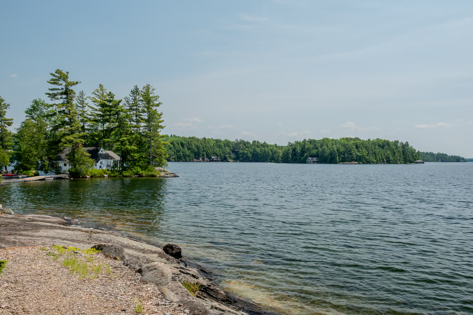
The cottage-country mistake (and the better default)
Gord named the pattern: we look at wood, plants, leaf litter and think “messy.” We want manicured lawns to the water. We want the lake edge to look like a resort.
But the lake doesn’t want that.
The better default is the permission slip:
- decide where you truly need access (swim entry + dock)
- keep that disturbance small and intentional
- leave the rest of your shoreline natural – especially the edges on either side
And when neighbours do the same, the lake keeps long continuous stretches of functioning littoral zone – still producing fish, supporting wildlife, recycling nutrients, and doing what healthy shorelines do.
Buyer lens (Cottage in Muskoka version)
If you’re touring waterfront properties in Muskoka, here’s a fast “shoreline reality check” inspired by Gord’s framework:
Look for:
- evidence the shore still has structure somewhere (wood, plants, varied bottom, natural edges, even an old crib dock)
- a defined use zone instead of “everything scraped clean”
- a shoreline that looks like it’s being lived on… not stripped
Ask about:
- how the current owner manages the waterfront seasonally (clearing habits, raking into the lake, plant removal)
- what the bottom is like at typical swim entry depth (sand/rock/muck)
- whether the shoreline has changed over the years (a longshore drift clue)
If you want help assessing shoreline “use vs health” across different lakes and bays, Catharine can walk you through what’s typical – and what’s a red flag – on Muskoka’s lakes.
Come check out the final episode of this webinar tonight, Feb. 3, 2026. Episode 3 brings together both science and lived teaching: Dr. Andrew Paterson (Queen’s University) reviews the major threats currently affecting lake health in Ontario – from climate shifts and pollutants to land-use impacts and invasive species – and how these stressors can interact, plus what we can do to help protect aquatic ecosystems. Christopher Stock (TEHONATÁHNHEN) follows with a talk on winter and the role of ice as part of Earth’s natural cycles, focusing on stewardship and reciprocity as guiding principles for caring for Creation.
Quick FAQ
How far out is “the littoral zone” on my shoreline?
It isn’t a specific distance – it’s as far out as sunlight still reaches the bottom. On clear water, that can be farther than you’d guess.
Why is my beach changing shape over time?
Wave action can move substrate along shore (longshore drift). If you’re seeing gradual shifts, that’s often what’s happening.
What’s that slippery coating on rocks and wood in Muskoka?
Often periphyton – a thin, complex biofilm of algae, bacteria, fungi, and detritus that grows attached to rocks, sediments, wood, and aquatic plants in the shallow, well‑lit margins of lakes and rivers. It’s part of what makes the rim productive.
What’s the simplest shoreline rule that still feels realistic?
Keep your swim/dock disturbance small and functional. Don’t “fix” the whole lot width.